If your weekends revolve around tides, launch times, and sunset cruises, Chesapeake gives you a lot of shoreline to love. From calm creeks for early‑morning paddles to deep, maintained channels on the Intracoastal Waterway, you can match your home to the water that fits your lifestyle. In this guide you’ll see the best Chesapeake neighborhoods for boaters and paddlers, nearby ramps and marinas, dock and permit basics, and ballpark price cues. Let’s dive in.
How Chesapeake waters shape your options
Chesapeake’s waterfront comes in a few flavors, and each one suits different boats and goals.
- Intracoastal Waterway and canals. The Albemarle & Chesapeake Canal and Southern Branch connect you to the ICW’s maintained routes. That means dependable navigation for moderate‑draft cruisers and easy access to fuel, repairs, and transient slips. Depths are managed as a federal project, though controlling depths can vary, so always verify current notices before planning draft limits. You can review ICW project depth context in NOAA’s reference material for Virginia’s section of the route.
- Riverfront on the Elizabeth River branches. Expect a mix of deeper channels near dredged routes and shallower tidal creeks along residential edges. This is practical for small skiffs, family fishing, and paddlecraft, with marinas and public ramps nearby for trailered boats.
- Marshy creeks and the Northwest River corridor. Protected water, calmer conditions, and abundant wildlife make these pockets ideal for kayaks, SUPs, and small flats boats.
- Neighborhood lakes and ponds. Great for paddling, but they typically do not connect to open waterways for larger powerboats and often come with HOA rules on docks and storage.
For day‑to‑day access, the city maintains a helpful list of public boat ramps and canoe or kayak put‑ins that many locals use for routine launches.
Best neighborhoods for boaters and paddlers
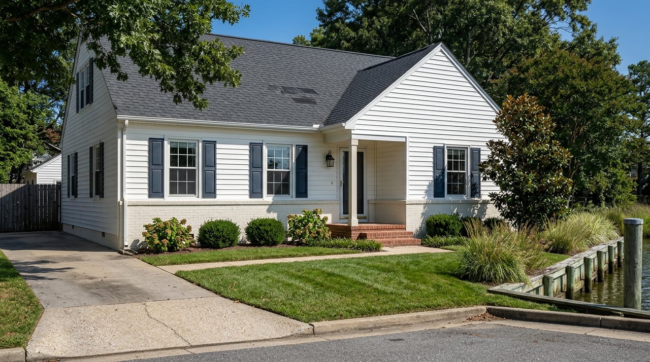
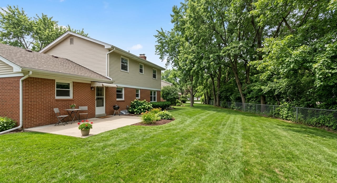
Great Bridge
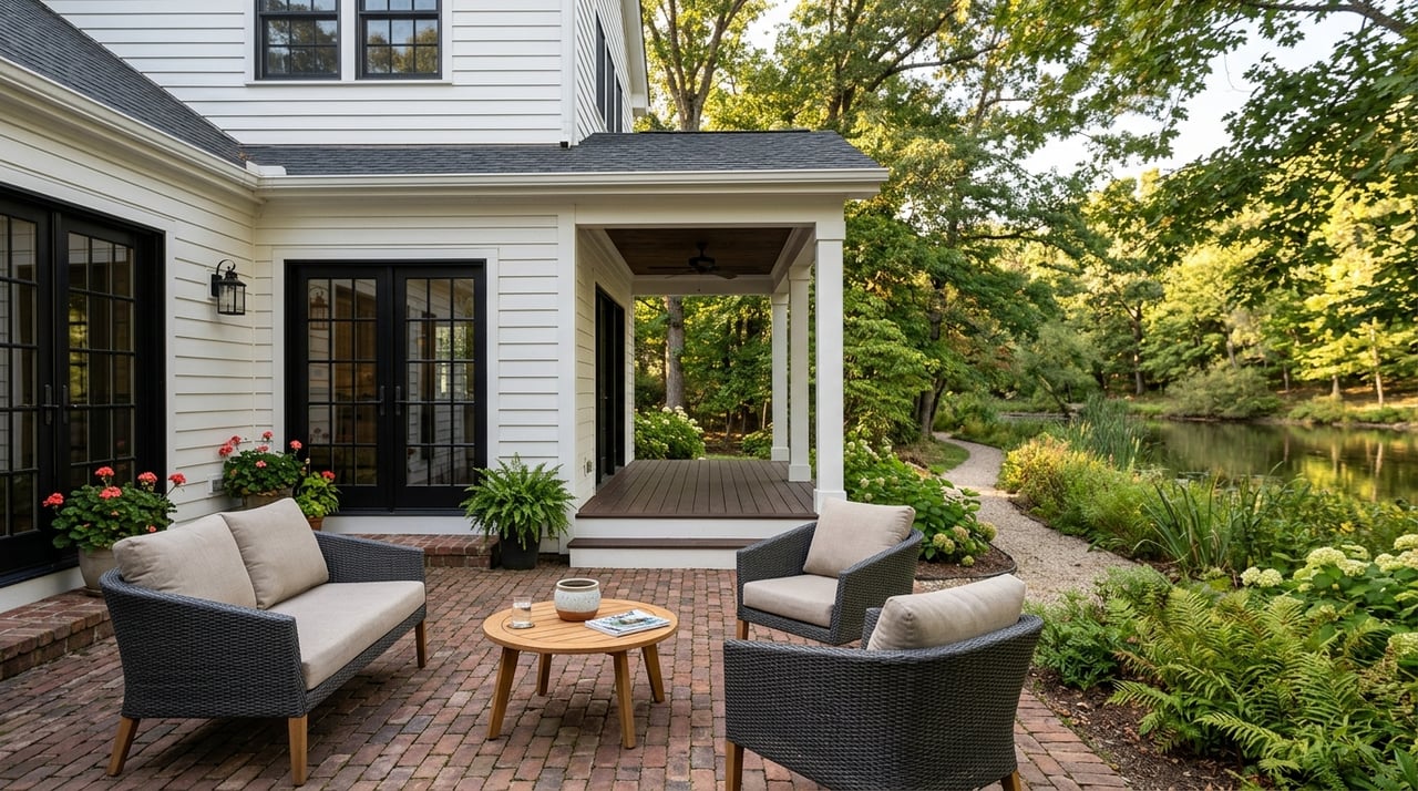
If you want ICW convenience, Great Bridge is your bullseye. You sit beside the Albemarle & Chesapeake Canal and the Southern Branch, which makes fueling up, getting service, and heading south or north on the ICW straightforward. Cruising owners like the proximity to full‑service marinas and the predictability of maintained channels.
- Ramps and marinas nearby. Launch at Great Bridge Lock Park and lean on local facilities such as Centerville Waterway Marina and Top Rack Marina for fuel, transient slips, and repairs. Many owners keep trailered boats at home and use the public ramp for easy access.
- Dock potential and draft. Many waterfront lots here front dredged approaches, which can support a fixed pier or boat lift. Depths along the ICW are maintained to project standards, but controlling depths can change. Review NOAA’s ICW documentation for draft planning and confirm approach depths with local operators.
- Price cues. Waterfront listings commonly start in the mid‑$400s and can run to $1 million and above for deeper water or custom homes. Exact values depend on frontage, depth, and improvements.
Helpful links:
- Learn why Chesapeake is a favored ICW stop for mariners in this Waterway Guide overview.
- Check the city’s Great Bridge Lock Park page for ramp and park details.
- Explore Top Rack Marina services and transient options.
- See Centerville Waterway Marina for slips, fuel, and service.
Deep Creek and the Dismal Swamp Canal corridor
Looking for quiet paddles, canal cruising, and good fishing? Deep Creek delivers a mix of canal and creek water with access to the Deep Creek Lock. It is a sweet spot for kayakers, small powerboats, and anglers who value calm conditions.
- Put‑ins and parks. Deep Creek Lock Park and Ballahack are popular for canoe and kayak launches, and you can move between creek and canal water depending on wind and tide.
- Dock potential. Many lots fall under Chesapeake Bay Preservation Area and Wetlands Board review. Small floating docks or kayak storage are often simpler to permit, while bulkheads and fixed piers usually require more approvals. The city’s CBPA and wetlands guidance explains the basics.
- Price cues. Values range widely by pocket, with more affordable options in some northern sections and larger homesites farther south. Verify street‑level comps before you shop.
South Norfolk (SoNo, Poindexter and Jordan Bridge area)
If you want an affordable foothold on the Southern Branch with strong public ramp access, put South Norfolk on your list. The neighborhood has a more urban feel with smaller lots and older housing stock, plus an easy launch for day boating.
- Day‑boating made easy. Elizabeth River Park offers a public ramp and fishing pier, and the Jordan Bridge has generous vertical clearance that is useful for taller vessels. For many buyers, this is a practical base for trailered boats and kayaks.
- Who it fits. Paddlers, anglers, and trailer‑boat owners who will use public facilities regularly. Many properties are not set up for larger, private deepwater slips, so verify dockable frontage before assuming private moorage.
- Price cues. This area often provides one of Chesapeake’s more approachable entry points to riverfront living.
Use the city’s ramps and put‑ins list to plan launches at Elizabeth River Park and nearby facilities.
Hickory, Southern Chesapeake, and the Northwest River area
If you want space, privacy, and protected water for paddling and fishing, southern Chesapeake stands out. You will find larger parcels, quiet creeks, and sections of the Northwest River where small to mid‑size powerboats and paddlecraft thrive.
- Lifestyle fit. Buyers who value acreage and a calmer setting choose this area. Some properties feature deepwater frontage or deeded slips, though those are less common and price at a premium.
- Tradeoffs. You are farther from full‑service marinas, so plan around home‑based lifts or nearby community facilities. Always verify draft and approach depth for larger boats before committing to a property.
The city’s Planning Areas page gives a helpful overview of regional character as you zoom into specific pockets of southern Chesapeake.
Western Branch and Rivercrest
On the Western Branch of the Elizabeth River, you will find suburban neighborhoods with practical water access for families. Many stretches work well for paddling, fishing, and small powerboats, and you can reach nearby marinas for fuel or service when you need them.
- Dock potential. Depending on wetlands status and riparian rights, many parcels can support a private dock with the right approvals. Confirm CBPA designations, flood zones, and deeded access during due diligence.
- Price cues. Typically middle market compared to Great Bridge and parts of Hickory, with values driven by water depth, frontage, and improvements.
Use the city’s Planning Areas page for a high‑level map, then drill into neighborhood‑level details with your agent.
Dock permits and due diligence checklist
Before you assume a property is dock‑ready, run these checks. A little homework upfront saves time and money later.
- Confirm riparian rights. Your title and recorded plat should show the shoreline boundary and whether riparian rights convey. Without riparian frontage, your ability to build a private dock may be limited.
- Review local approvals. Waterfront work often requires Chesapeake Bay Preservation Area and Wetlands Board review. The city’s CBPA and wetlands requirements outline the 100‑foot Resource Protection Area buffer and typical submittals.
- Start with VMRC for tidal waters. The Virginia Marine Resources Commission administers habitat permits for piers, bulkheads, and similar structures in tidal waters. Use the VMRC habitat permits portal to research prior approvals for your waterway and start pre‑filing questions.
- Understand federal and state layers. Projects that involve dredging or fills can trigger U.S. Army Corps of Engineers or DEQ review. Your plan set should list all agencies involved.
- Verify depth and approach. Check recent bathymetry or speak with nearby marinas about controlling depths and tides. NOAA’s ICW documentation is a useful reference for project depths, but you still need local confirmation for your approach channel.
- Check flood maps and elevation. Know your flood zone, any elevation certificate on file, and typical insurance requirements. Your agent can help you pull this data.
- Budget time and cost. Permits and mitigation can take months, and engineering or credits can add thousands of dollars to your project. Build this into your purchase timeline.
Quick launch spots to know
- Citywide ramps and put‑ins. The city’s consolidated list covers Elizabeth River Park, Great Bridge Lock Park, Deep Creek Lock Park, Ballahack, and more.
- Great Bridge Lock Park. A convenient ramp and kayak launch with picnic areas and access to the lock. It is a popular starting point for ICW day runs and paddles.
- Top Rack Marina. Fuel, transient slips, and on‑site dining along the Southern Branch, convenient to Great Bridge.
- Centerville Waterway Marina. A local hub for slips, fuel, and service near the Centerville Turnpike.
How to choose your best‑fit waterfront
Use this simple framework to narrow your search.
- Define your boat and your routine. List your current or planned boat’s draft, beam, and height. Also list how often you launch, where you go, and whether you need fuel or service nearby.
- Match water type to your needs. ICW proximity favors cruisers. Riverfront pockets and creeks favor paddlers and small skiffs. Neighborhood lakes are great for SUPs and kayaks.
- Map your launch points. Identify the closest public ramp or marina you will actually use. Time your typical run during peak and off‑peak hours.
- Check dock feasibility early. Ask for the plat, riparian details, flood info, and any prior permits. Visit the VMRC portal and the city’s CBPA page to preview requirements.
- Validate pricing with comps. Depth, frontage, and existing improvements drive value. Your agent can pull apples‑to‑apples waterfront comps on your target street.
Whether you are chasing ICW miles or quiet creek mornings, you have options in Chesapeake. If you want a local strategy to match your budget, boat, and lifestyle, connect with the Waterfront Experts at 4 Oceans Real Estate Group LLC for a curated shortlist and on‑the‑water guidance.
FAQs
Can you build a dock on any Chesapeake waterfront lot?
- Not automatically. You need riparian frontage and approvals that often include the city’s CBPA and Wetlands review plus a VMRC habitat permit for tidal waters. Start with the city’s CBPA requirements and the VMRC portal to research what has been approved nearby.
Where in Chesapeake can you keep a 30‑plus foot boat at home?
- Your best bet is near the ICW in Great Bridge or in properties with deeded slips. Verify approach depth and bridge clearances, and review NOAA’s ICW reference plus local marina guidance before assuming draft availability.
What Chesapeake neighborhoods are best for daily paddling?
- Deep Creek, the Dismal Swamp Canal corridor, and the Northwest River area offer calm, protected water. Use the city’s ramps and put‑ins page to pinpoint kayak launches.
How do waterfront prices compare across these areas?
- South Norfolk often provides a more affordable entry point. Great Bridge and southern Chesapeake can reach higher price points, especially with deepwater or custom homes. Exact values depend on depth, frontage, and improvements, so confirm with current comps.
What permits and timelines should you expect for a new dock?
- Many projects need city CBPA and Wetlands approvals plus a VMRC habitat permit, and some require federal or state review. Timelines can run months and costs can include engineering and mitigation, so plan for added time and budget.
References and resources used in this guide:
- Waterway Guide Chesapeake overview
- NOAA ICW depth reference for Virginia
- City of Chesapeake ramps and put‑ins
- Great Bridge Lock Park
- Top Rack Marina
- Centerville Waterway Marina
- City CBPA and wetlands requirements
- City Planning Areas overview
- VMRC habitat permits portal