Virginia Beach Waterfront Flood Zones and Insurance
May 21, 2026
May 21, 2026
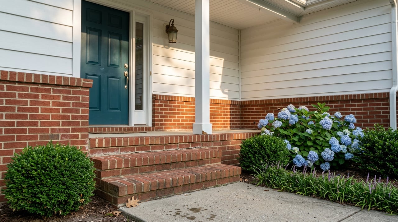
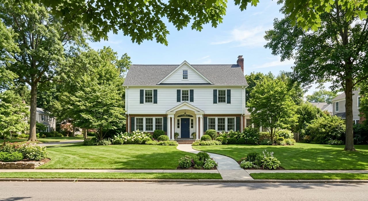
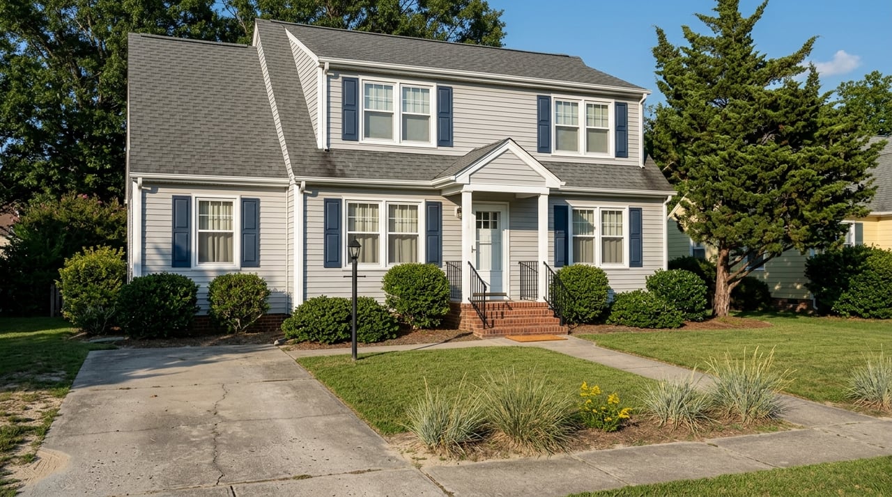
Buying near the water in Virginia Beach can feel exciting right up until flood maps and insurance quotes enter the conversation. If you are looking at a waterfront, canal-front, or near-water home, you want clear answers, not confusing acronyms and guesswork. This guide will help you understand the flood zones you are most likely to see, what they can mean for insurance and financing, and what to verify before you buy. Let’s dive in.
Virginia Beach participates in the National Flood Insurance Program, and the city directs property owners and buyers to check flood status through FEMA’s Map Service Center, the city’s mapping service, and Virginia’s VFRIS tool. The city can also provide verbal and written flood-zone determinations. If you are considering a waterfront property, checking the current flood designation should be one of your first steps.
Just as important, a lower-risk designation does not mean zero risk. The City of Virginia Beach and VFRIS both note that properties outside a Special Flood Hazard Area can still flood. In real life, that means you should treat the flood zone as one part of the picture, not the whole picture.
If you are shopping in Virginia Beach waterfront areas, you will most often run into Zone AE, VE, AO, AH, and X. Each one points to a different type or level of flood risk. Understanding the label can help you ask better questions before you commit to a purchase.
Zone AE is a high-risk flood zone where base flood elevations are provided. Virginia Beach identifies AE as a Special Flood Hazard Area with about a 1% annual chance of flooding, which is roughly a 26% chance over a 30-year mortgage. For many buyers, AE is the most important place to start because it ties the mapped risk to a specific elevation benchmark.
Zone VE is the coastal high-hazard zone. FEMA describes VE as an area with wave action and fast-moving water that can cause extensive damage during a base flood. In Virginia Beach, this is especially important for buyers looking at homes closer to direct coastal exposure.
Zone AO is used for shallow flooding, usually sheet flow, with average depths of 1 to 3 feet. In coastal communities, this can also show up where wave overtopping pushes water inland. Even though the water may be shallower than in other floodplain areas, AO is still considered high risk.
Zone AH also reflects shallow flooding, but it is usually tied to ponding. Average flood depths are generally 1 to 3 feet, and base flood elevations are shown at selected intervals. For buyers, AH can be a sign that water may collect in lower-lying areas even if the property does not look obviously vulnerable at first glance.
Zone X is generally considered lower risk than AE or VE. Still, lower risk is not the same as no risk. The City of Virginia Beach and VFRIS both warn that properties outside high-risk zones can still experience flooding due to drainage or ponding issues.
A Special Flood Hazard Area, often shortened to SFHA, is the area subject to a higher flood risk on FEMA maps. Zones such as AE, VE, AO, and AH fall into this category. If a property is in an SFHA, that can affect financing, insurance needs, and future renovation plans.
In Virginia Beach, the city also regulates development in floodplains. A permit is required for all construction and development in Special Flood Hazard Areas. The city also notes that freeboard requirements vary by zone and location, and that SFHA properties in the southern part of Virginia Beach have additional fill restrictions.
One of the biggest surprises for buyers is that flood insurance is separate from wind coverage and separate from a standard homeowners policy. Virginia Beach specifically tells residents to plan for flood coverage as its own policy. If you are buying near the water, it is smart to budget for this early instead of waiting until the last minute.
If the home is in a high-risk flood zone and your mortgage is federally backed, flood insurance is generally required as a condition of the loan in participating communities. Since Virginia Beach participates in the NFIP, the current flood map can directly affect your financing path. That is one reason flood-zone review should happen early in your due diligence.
Many buyers assume the flood zone alone sets the price. That is no longer the full story. Under FEMA’s Risk Rating 2.0 approach, premiums can consider factors such as flood frequency, different flood types, distance to water, elevation, first-floor height, foundation type, rebuilding cost, and deductible choices.
That helps explain why two homes in the same area can have very different quotes. A house’s design, elevation, and individual risk features all matter. If you are comparing waterfront homes in Virginia Beach, this is why it helps to request insurance information for each property instead of estimating based on the map alone.
An elevation certificate, or EC, documents a property’s location, characteristics, and the height of key parts of the building, including the first floor. In simple terms, it helps show how the structure sits relative to expected floodwaters. The higher the first-floor elevation, the lower the flood-loss likelihood tends to be.
Virginia Beach says that if you live in a Special Flood Hazard Area, you should provide an elevation certificate to your insurance agent so the premium can reflect the property’s risk accurately. In some cases, the certificate may already be on file with the community. If not, owners usually hire a land surveyor, engineer, or architect to complete one.
It is also important to keep expectations realistic. An elevation certificate is often very useful and may be requested for higher-risk properties, but it is not universally required for every flood policy purchase. For buyers, the practical takeaway is simple: ask whether one exists, and if it does, review it early.
Base Flood Elevation, often called BFE, is the floodwater elevation shown on maps for zones such as AE, AH, AO, and VE. This number gives you a benchmark for understanding the mapped flood risk. It is one of the most useful pieces of information when you are evaluating a waterfront or near-water property.
A key question is how the building’s first-floor height compares to that base flood elevation. If the first floor sits higher, that can help reduce flood-loss risk. It can also shape how an insurance agent evaluates the property.
If you are serious about a waterfront home in Virginia Beach, a short checklist can help you move from curiosity to clarity.
These questions matter whether the home is directly on the water or just nearby. A property outside the SFHA can still flood, so it is wise to look at the map, the building, and the likely insurance cost together.
In Virginia Beach, the most helpful way to think about flood risk is not simply “in a flood zone” or “not in a flood zone.” A better question is: what is the mapped risk, where does the structure sit relative to that risk, and what will insurance and local rules likely require? That approach gives you a more complete picture before you make an offer.
For waterfront buyers, this kind of due diligence protects both your budget and your peace of mind. It can also help you compare homes more accurately, especially when two properties seem similar at first glance but carry very different long-term ownership costs. That is where local waterfront knowledge becomes especially valuable.
If you are weighing a canal-front cottage, bayfront home, or another near-water property in Virginia Beach, having an experienced guide can make the process much clearer. The team at 4 Oceans Real Estate Group LLC helps buyers navigate waterfront decisions with practical local insight and a consultative approach.
Stay up to date on the latest real estate trends.